From forest data,
to forest intelligence.
Whether it’s on-the-ground sensor strategy or audit-grade, species-level risk forecasting, we provide businesses and conservation groups with the tools they need to make the right decisions.
Video: Nicolas Barbier, Project Phenobs
Cutting-edge data solutions,
powered by the latest AI & Forest Ecology research

Risk Intelligence
Forecasting systems that predict where forest loss is most likely to occur within the next year - at 30m resolution.

Precision Inventory
Species-level forest maps, using the very latest in AI and machine learning techniques.

Decision Support
End-to-end monitoring systems that are transparent, effective, and ready for third-party review.
WE DELIVER

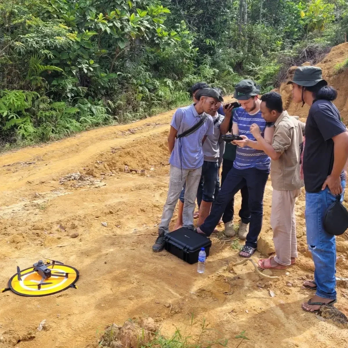
Sensor Strategy
Sensor strategy tailored to your site, your question, and your budget - and an AI pipeline to fuse and interpret the data.
WE ARE
“We bridge the gap between ongoing issues in ecology, and the latest technological solutions.”
Leading Experts in AI, forest ecology, and remote sensing


Dr. James Ball, University of Cambridge
Forestmap.ai CEO
Led by Dr. James Ball, a University of Cambridge scientist specializing in remote sensing and tropical ecology, our consultancy is at the forefront of integrating advanced computer vision techniques with remote sensing technologies to deliver accurate, actionable insights on forest ecosystems.
Testimonials
-
![A cartoon robot with a square face and big blue eyes, surrounded by a leafy green haircut, with the word 'detectree2' written below.]()
“The support and expertise provided by forestmap.ai have been invaluable in rolling out our AI mapping tool to users globally."
George Clifford, Lead Developer, detectree2
-
![Wildlife Works logo]()
“It’s been a pleasure working with such a knowledgeable and efficient team of computer vision experts. I couldn’t recommend forestmap.ai more highly.”
Jeremy Freund, CTO, Wildlife Works
-
![Logo of Cambridge Cultural Exchange Center with a tree, open book, and the initials CCEC, emphasizing collaboration, creativity, and sustainability.]()
“Dr Ball of forestmap.ai communicates cutting edge techniques in a way that is compelling and comprehensible to a broad international audience"
Joe Chou, International Director, CCEC

Contact Us
Interested in working together? Fill out some info and we will be in touch shortly. We can’t wait to hear from you!
By submitting this form, you acknowledge our Privacy Policy.